Point Cloud in Modern Engineering: What It Is and How It Is Used
In the era of modern engineering, point clouds are making a significant impact on how we design, analyze, and manage construction, infrastructure, and manufacturing projects. But what exactly is a point cloud, and how is it used in today’s context? In this article, we will explore the essential role these three-dimensional representations play and how their use benefits various industries.
What Is a Point Cloud in Engineering?
A point cloud is a collection of digital points in three dimensions that represent the shape and details of an object or space. Each point in the cloud contains coordinates in three-dimensional space (x, y, z) and, in some cases, additional attributes such as color or intensity. This representation is generated using technologies like 3D laser scanning, photogrammetry, or specialized sensors such as RGB-D cameras.
The result is an extremely detailed three-dimensional digital model, allowing engineers, architects, and other professionals to visualize and work with a virtual replica of the physical environment or structure in question.
You might also like: Exploring Cloud2Model: The Link Between Laser Scanning and BIM Modeling
Key Applications of Point Clouds in Modern Engineering
Point clouds in engineering are transforming multiple disciplines by providing a precise and detailed foundation for analysis and design. Below Are Some of Their Main Applications:
3D Modeling and Design
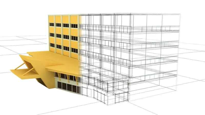
Point clouds are used to create highly accurate digital models of buildings, infrastructures, and industrial objects.
This level of detail allows engineers and architects to make design adjustments before construction, saving time and resources. 3D models based on point clouds are essential for conducting structural analyses, strength calculations, and behavior simulations under different conditions.
Mapping and Localization
In the robotics industry, point clouds enable robots to map their environment and locate themselves within it. Using LiDAR technology, robots can identify obstacles, locate reference points, and navigate complex environments with great precision—a technique employed in autonomous vehicles and inspection drones.
Topographic Assessment
For construction projects, point clouds enable precise evaluation of a terrain’s topography. LiDAR scanners can capture every variation in the terrain, which is crucial for planning infrastructure, urban development, and public works projects.
Object Recognition and Analysis
Point cloud technology facilitates the recognition of objects in various environments.
For instance, drones equipped with advanced cameras and sensors can capture and map entire scenarios, allowing the identification of specific objects in the area.
Inspection and Quality Control
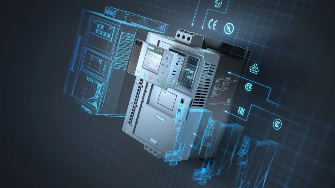
Point clouds are also valuable in inspecting the quality of manufactured parts. Using laser scanners, it is possible to capture the complete geometry of an object and compare it with CAD models, enabling the detection of deviations or defects quickly and accurately.
6. Integration into Augmented and Virtual Reality
In augmented reality (AR) and virtual reality (VR), point clouds are used to create immersive environments, facilitating the visualization of architectural spaces or training in virtual simulators. This tool is widely employed in sectors such as construction and maintenance training.
You might also like: The Revolution of AR and VR
Methods for Generating Point Clouds
Point cloud generation is carried out using different technologies depending on the required level of detail and application:
1. 3D Laser Scanning: Uses laser light pulses to measure distances and obtain a precise three-dimensional model. This method is commonly used in industrial applications and the preservation of architectural heritage.
2. Photogrammetry
Captures images from multiple angles and, through software, calculates the positions of points to form a three-dimensional cloud, ideal for large areas such as landscapes or constructions.
3. RGB-D Sensors Combine a camera with a depth sensor, capturing both visual and spatial data in indoor environments.
Advantages of Point Clouds in Engineering
The use of point clouds in engineering offers significant advantages in terms of precision, efficiency, and cost savings:
Detail Accuracy: Captures every aspect of a space or object, providing a precise foundation for analysis and simulations.
–Cost Reduction: Minimizes the need for frequent site visits, as a precise digital model allows review and planning from any location.
Efficient Collaboration: Facilitates communication between different teams and disciplines involved in a project, as everyone works with the same three-dimensional model.
Conclusion
Point clouds have become a fundamental tool in modern engineering, enabling greater precision in the design, planning, and management of complex projects. By digitally and three-dimensionally representing the physical world, they facilitate more informed decision-making, optimize resources, and ensure quality at every project stage. Their integration across various industries, from architecture to manufacturing, highlights their versatility and the value they bring to an increasingly digital and connected environment.
JOIN THE NEW REALITY!


