
Scan to BIM vs. traditional survey: which one your project needs
A traditional survey makes sense for small projects with regular geometry where you only need a handful of point measurements; Scan to BIM makes sense when you work on an existing building, with complex or irregular geometry, and you need a faithful, measurable as-built BIM model. The practical rule: if your project depends on the drawing matching reality, 3D laser scanning stops being a luxury and becomes the safe starting point.
The industry numbers make the difference clear: 3D laser scanning captures up to one million points per second and documents a space 5 to 10 times faster than the traditional method, according to independent comparisons (iScano). And on that faithful base, Foundtech reports up to 35% fewer reworks, 25% less execution time and 22% higher operational efficiency across its scanning and BIM modeling projects.
A 6-minute read. By the end you’ll know which method to request for your next project —and why the answer is rarely “the cheapest per square meter,” but the one that doesn’t force you to measure twice.
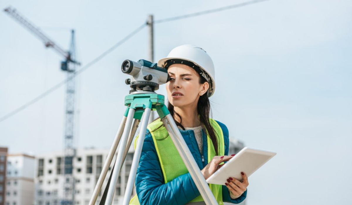
Every architecture project that touches an existing building starts with the same silent question: what does this actually look like? An old drawing says one thing, the site says another, and between the two versions creep the reworks, the quotes that don’t add up and the surprises in the field. How you answer that question —with tape and total station, or with a laser scanner— shapes almost everything that follows.
At Foundtech we don’t draw your project from memory or rebuild it from drawings that stopped matching reality: we capture the space as it is today, with millimeter precision, and build the model on that base. That’s why this comparison isn’t “old school vs. new technology”: it’s about understanding what your project needs so the first measurement is also the last. Each method has its place; the point is knowing which one fits yours.
What each method is: traditional survey and Scan to BIM
A traditional —or manual— survey is the one most people know: tape measure, handheld laser distance meter and, on more demanding projects, a total station. The surveyor picks representative points in the space, measures them one by one, and from that data draws a sketch or a 2D plan. It’s a proven method, cheap to start, and very accurate at each point it chooses to measure. Its limit is exactly that: only what someone decided to measure exists, and everything between one point and the next is interpolated —that is, assumed.
Scan to BIM flips the logic. Instead of picking points, a 3D laser scanner captures the entire space as a dense, measurable point cloud, and on that cloud an intelligent BIM model is built where every wall, duct or column is an object carrying information, not just a line. Autodesk sums up the process as turning millions of data points into a single BIM source of truth, able to improve speed and accuracy across the whole design and construction workflow. To see how that leap works on a real site, we cover it in how 3D scanning is changing the way we build. The core difference: the manual method documents points; Scan to BIM documents reality.
Head to head: speed, accuracy, data and cost
The most honest way to compare the two methods isn’t to ask which one is “better,” but what each one delivers and what it costs you to get it. These figures come from independent industry comparisons (iScano), documenting laser-scanning surveys against traditional methods for as-built documentation:
| Criterion | Traditional survey | Scan to BIM |
|---|---|---|
| Field speed | Days or weeks; measured point by point | 5 to 10 times faster; up to 1 million points per second |
| What it captures | Only the selected points; everything between is interpolated | The complete, continuous geometry of the space |
| Accuracy | ±1-3 mm per measured point, under optimal conditions | Millimeter level across the whole surface (≈±2-6 mm) |
| Real irregularities | A bowed wall or sloping floor is lost between points | Documented exactly as built |
| Deliverable | 2D sketch or plan | Point cloud + navigable 3D as-built BIM model |
| Best for | Small projects, regular geometry, quick measurements | Renovation, as-built, complex geometry, MEP coordination |
Cost tells the same story from another angle. Scanning equipment is more expensive than a tape and a total station, but the project usually comes out cheaper: in one case documented by iScano, scanning a hospital cost 40% less than the equivalent traditional survey, because days replaced what would have taken weeks. The number that matters isn’t what the field day costs, but what each return trip to re-measure what was missed costs.
Millimeter precision doesn’t mean the same thing in each method
Here it pays to be precise about the word “precision.” A total station can measure a single point with extremely high accuracy —often better than a single scan point. The problem isn’t the accuracy of the point, but how many points exist. A manual survey measures a dozen or a hundred points and draws straight lines between them; if a wall is bowed, a floor has a slope or a pipe changes direction where no one measured, that reality simply doesn’t appear in the plan. It’s an interpolation error, not a measurement error.
Laser scanning eliminates that interpolation because it doesn’t pick points: it captures the whole surface. So when we talk about millimeter precision in Scan to BIM, we don’t mean a perfect single point, but a model that reflects the real geometry —curves, slopes and deviations included— with millimeter fidelity across its full extent. For an architecture project on an existing building, that difference is what separates a design that fits on the first try from one that gets corrected on site. That’s what our Scan to BIM service does: turning a faithful capture of the space into a model you can design with, without guessing.
From point cloud to as-built plans
A scan by itself is a cloud of millions of points: impressive, but not a deliverable an architect can work with. The value appears when that cloud becomes usable documentation. From it come two distinct deliverables depending on what you need: as-built plans —the precise 2D documentation that faithfully reflects what was built, ideal for permits, renovation and maintenance— and the intelligent 3D BIM model for coordination and clash detection. You don’t always need both; you do need whoever produces them to start from a real capture and not from an inherited drawing.
That’s the advantage of scanning once: from the same capture you get the as-built plans your project needs today and the BIM model your design —or the building operator— will thank you for tomorrow. A manual survey, by contrast, forces you to measure again every time a new question appears that no one anticipated on the first visit.
So, which one does your project need?
There’s no universal winner, and be wary of anyone who sells it that way. A traditional survey is still the sensible option for small spaces with regular geometry, when you only need a handful of quick measurements and the budget rules. Scan to BIM pays for itself when you work on an existing building, when the geometry is complex or irregular, when MEP coordination is involved, or when the project needs a faithful as-built model that decisions will depend on for years. In those cases, capturing reality well once is cheaper than measuring it wrong three times.
That’s exactly the ground Foundtech works on: more than 200 projects across Europe and the Americas and 10 million m² modeled under ISO 19650 certification, alongside our European partner BIM Facility. On that precisely captured base, our clients report up to 35% fewer reworks, 25% less execution time and 22% higher operational efficiency. These aren’t brochure figures: they come from designing on reality instead of on assumptions.
If you’re not sure which method your project needs, that’s exactly the conversation we start with. Tell us what you’re about to work on and begin with a project diagnosis: book yours here.