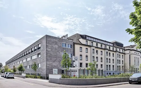
Claraspital, Basel
Hospital renovation (CHF 140 million): 2,500+ laser scans and a BIM model.

Convert point clouds into intelligent and editable BIM models. The essential foundation for any renovation, expansion, or existing asset management project.
Request a Quote Chat on WhatsAppRequest a quote
It is the technical process of transforming massive 3D laser scanner data (Point Cloud)
into a parametric and organized BIM model (Revit, Archicad).
Instead of tracing old plans that are often inaccurate, we model based on captured reality.
This is vital for engineers and architects who need absolute geometric
certainty before designing new installations on existing structures.
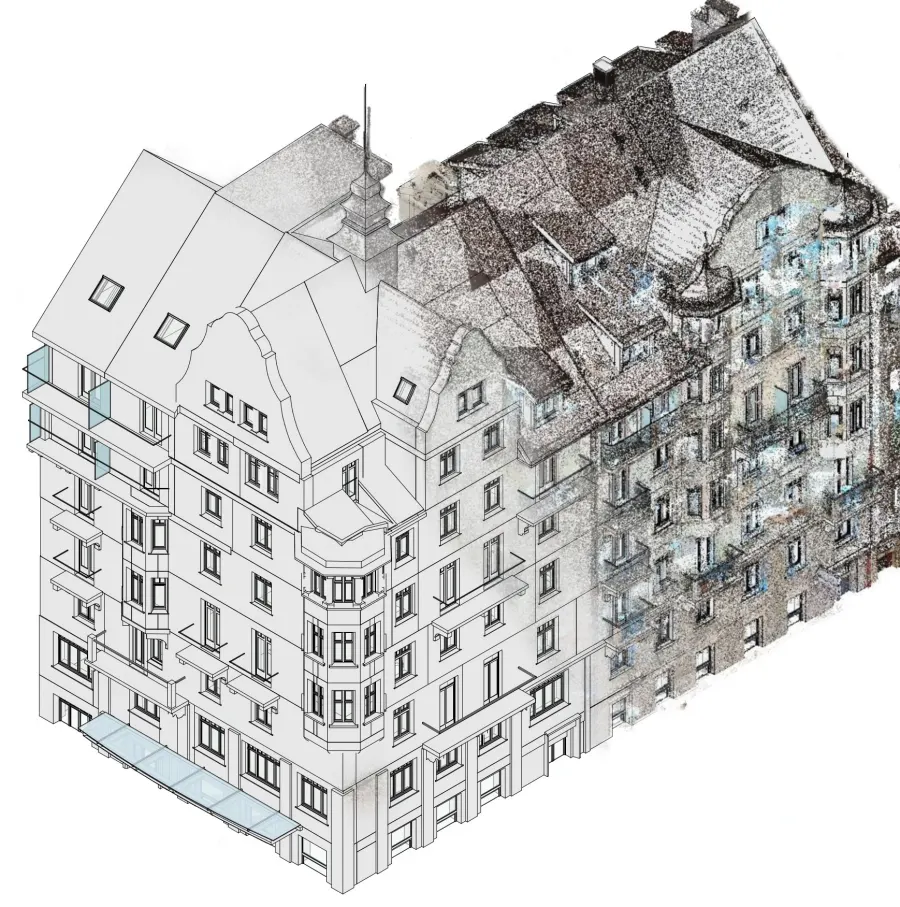
Architects working on existing buildings.
Engineering firms upgrading installations.
Complex expansions and revamping.
Historic building restoration.
Who need a reliable starting point.
From point cloud to deliverable model.
On-site laser scanning and processing to unify the complete Point Cloud.
Our modelers build the BIM geometry strictly based on the point cloud.
Model vs. point cloud overlay to ensure minimal deviations.
Editable files (RVT, PLA) and generated plans ready for your team.
What you get when we turn a 3D laser scan into a BIM model, and the parameters we work with.
Hospital renovation (CHF 140 million): 2,500+ laser scans and a BIM model.
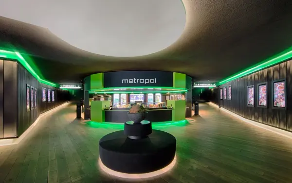
~200 scan stations plus drone, turned into a BIM model with MEP in three weeks.
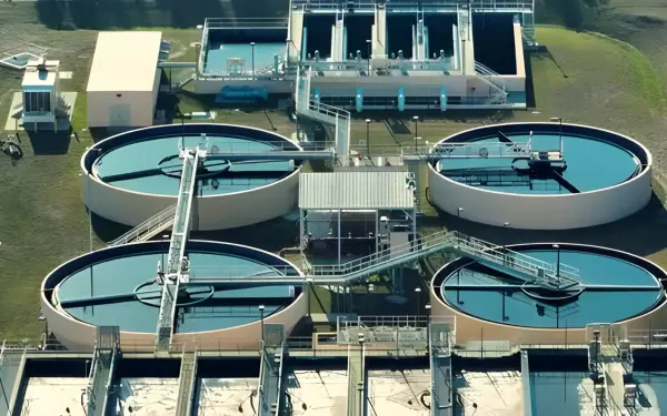
Wastewater treatment plant: 3D laser scanning and BIM modeling from point clouds.
We adapt to your requirements, from LOD 200 (volumetric) to LOD 500 (detailed As-Built) for installations.
Yes, we always deliver native files (Revit, Archicad, etc.) fully open so you can work on them.
Not necessarily. We can perform the full service (Scanning + Modeling) or work with point clouds you already have.
Yes, we specialize in modeling visible pipes, ducts, and conduits with high precision for clash detection.
Timelines vary by complexity and square footage. Small projects can be delivered in 1 week; complex industrial facilities may take 3 to 5 weeks. We will provide an exact schedule in our quote.
Generally no. Our laser equipment is non-intrusive and captures millions of points per second at a distance, allowing your plant or facility to continue operating normally.
In addition to editable files (Revit/Archicad), we can deliver free viewers (such as BIMx or Autodesk Viewer) so anyone on your team can explore the 3D model without costly licenses.
Our terrestrial scanners have an accuracy of +/- 2mm to 10mm depending on equipment and conditions, far surpassing the precision of traditional manual surveys.
It depends on the square meters, the complexity of the building, the level of detail (LOD) you need, and whether the service includes scanning or starts from your existing point cloud. Every project is quoted to measure, and you receive the proposal in less than 24 hours.
Leave your details to receive a personalized proposal.
Chat on WhatsApp