Scanning and Topographic Survey: Asset Modeling
In the digital age, scanning and topographic surveying have advanced significantly thanks to the integration of sophisticated technologies such as 3D laser scanning. This innovative technique has revolutionized the way assets are modeled and managed across various industries, from construction to urban planning.
3D Laser: Precision and Efficiency
3D laser scanning is a technology that uses laser pulses to capture precise data of the surface of objects and terrains. By emitting lasers from multiple angles and measuring the time it takes for the light to return, a detailed three-dimensional model of the scanned object or terrain is created. This technology is not only fast but also extremely efficient, significantly reducing the time and costs associated with traditional topographic surveying methods.
You might be interested in: 3D or BIM?: Uses and Differences of the Models
Advantages of 3D Scanning
1. Precision and Detail: Laser scanning provides highly accurate data, allowing for the creation of exact models that are crucial for project planning and execution.
2. Cost and Time Reduction: The use of laser scanners has been shown to reduce labor costs by up to 50% and significantly accelerate project execution.
3. Less Manual Work: By automating the data capture process, human errors are minimized and safety is improved, especially in hard-to-reach areas.
4. Digital Twin Generation: The technology enables the creation of digital twins, precise virtual representations of physical assets, facilitating their management and maintenance.
5. Diverse Applications: 3D laser scanning finds applications in sectors such as construction, mining, and agriculture, enhancing project efficiency and quality.
Topographic Surveying Process
Topographic surveying with 3D scanners and drones involves using high-precision GPS to obtain detailed data of the terrain. This approach allows for the transition from 2D to 3D surveying, providing a higher level of detail and speed in data collection. The results are delivered in formats compatible with CAD and BIM software, facilitating their integration into design and planning processes.
Connection between Scanning, Surveying, and Asset Modeling
3D laser scanning, topographic surveying, and asset modeling are intrinsically linked, forming a comprehensive cycle for efficient project management.
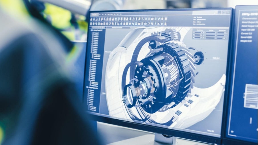
3D laser scanning provides highly accurate and detailed data, essential for topographic surveying. This surveying, in turn, enables the creation of digital twins, which are precise virtual models of physical assets.
These digital twins not only facilitate planning and design but also enable continuous management of the asset lifecycle. The ability to simulate, analyze, and optimize asset performance in a virtual environment leads to greater operational efficiency and cost reduction compared to traditional methods.
Relationship with Asset Modeling
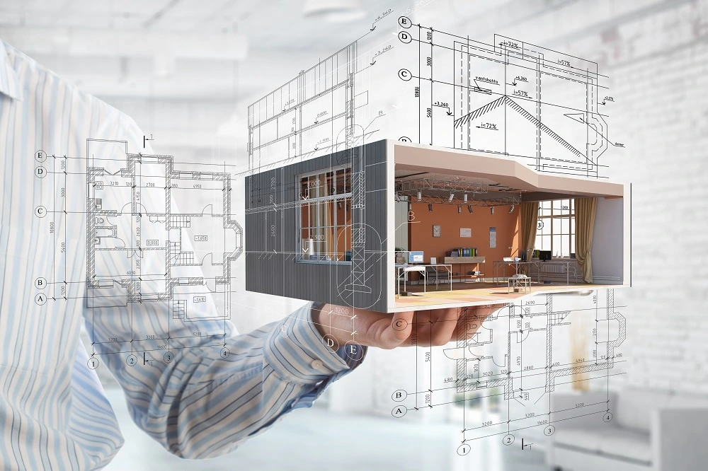
Topographic surveying plays a crucial role in asset modeling, as it provides accurate data that enables the creation of precise digital models. These models are essential for:
– Accurate Data Capture: Obtaining detailed data on the geometry and characteristics of physical assets.
– Planning and Design: Assisting engineers and architects in designing projects that align with the terrain and existing assets.
– Lifecycle Management: Monitoring asset conditions, planning maintenance, and simulating failure scenarios to improve operational efficiency and reduce costs.
In conclusion, 3D laser scanning and topographic surveying have transformed the way we model and manage assets. It offers faster, more precise, and cost-effective solutions compared to traditional methods, marking a significant advancement in project and asset management across multiple sectors.
JOIN THE NEW REALITY!


